Overview
About the Project
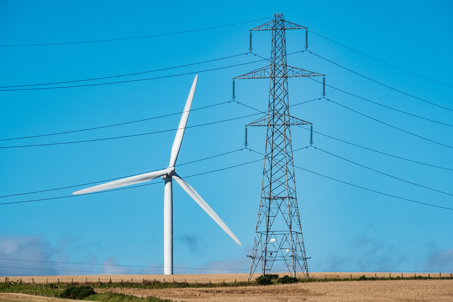
We are required to connect the new 50 MW Lairg II Wind Farm into our existing 132 kilovolt (kV) overhead line, located approximately 2km to the south east of the village of Lairg.
The project elements include:
- The installation of approximately 500m of 132kV underground cable from the consented Lairg II Wind Farm Substation
- The installation of a cable sealing end compound connecting the underground cable into the existing 132kV overhead line
- The installation of a communications cable alongside the proposed 132kV underground cable, then running south along the existing access track for 3.5km to connect into the existing overhead line with a canister
- A temporary stone access track parallel to the underground cable and a temporary laydown area next to the sealing end compound
Why is the Project Required?
As the transmission owner for the north of Scotland, ensuring requesting generation developments can connect to our network is one of our primary responsibilities alongside providing a safe and reliable supply of electricity to our communities.

Project Considerations
As a responsible developer, our objective is to undertake the route selection process for the wind farm connection factoring in environmental, engineering, cost and land constraints.
Engineering Considerations
A number of engineering options were assessed to facilitate the connection of the wind farm, including an overhead line option. Following a technical review, use of an overhead line in this location was considered unfeasible due to the close proximity to the proposed Lairg II Wind Farm turbines. This would result in increased wear and maintenance problems and, therefore, an underground cable option was considered most preferable. .
Environmental Considerations
Environmental, archaeological, ornithological, and hydrological surveys have been undertaken to identify the key ecological and environmental constraints and sensitivities on site, focusing on heritage, landscape and ecological implications.
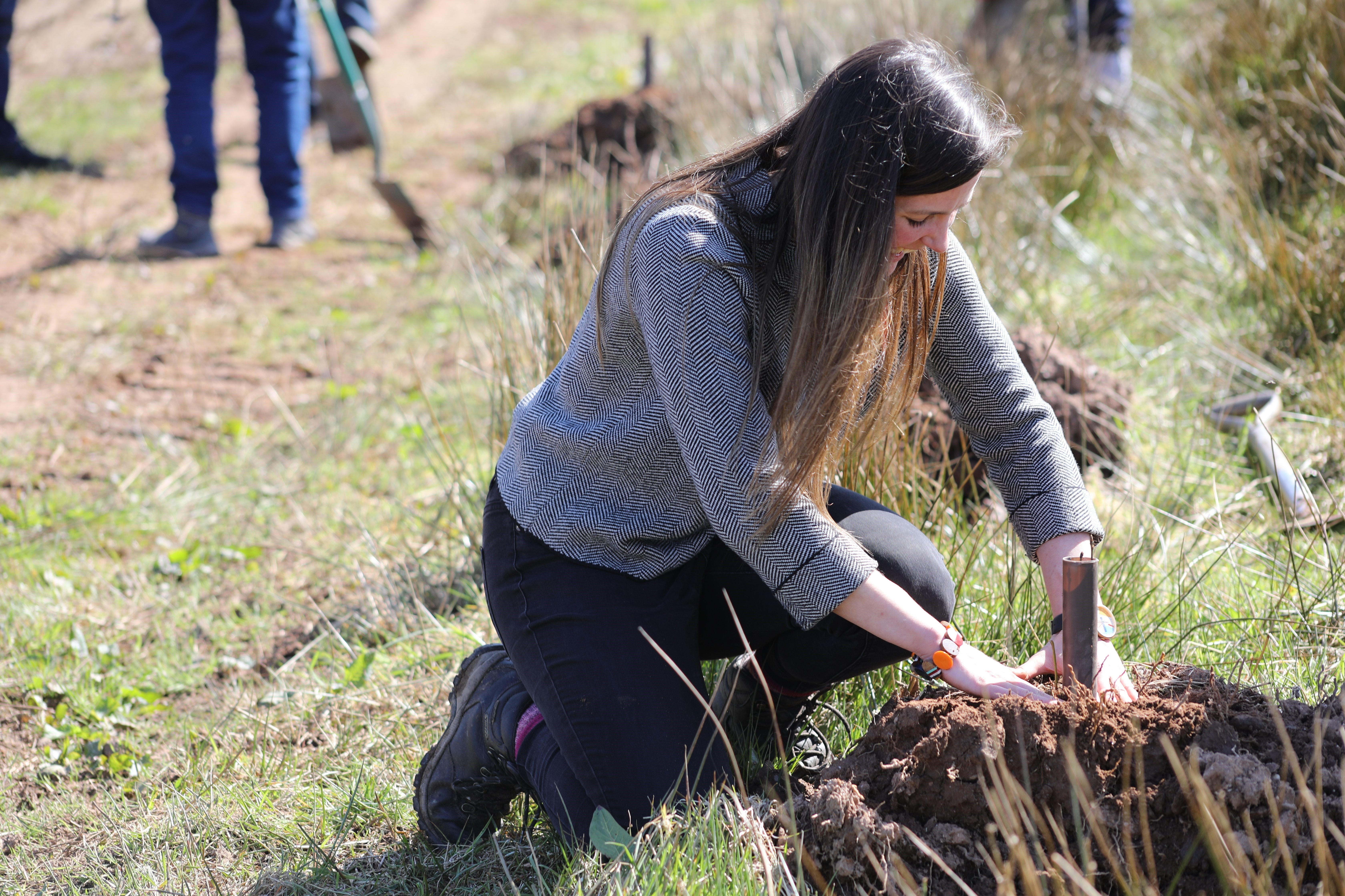
Areas of blanket bog, an irreplaceable habitat, and wet health, an Annex 1 habitat, were identified across the search area and works are progressing to minimise temporary impacts to sensitive habitats during construction. Works will follow SSEN Transmission’s Species Protection Plans, as well as industry standard pollution prevention measures to help minimize impacts to local wildlife habitats.
Designated sites and their qualifying features have also been accounted for during the site selection process and will be respected during the planning of construction works.
Planning and Consents
The construction of the underground cable is classed as Permitted Development, meaning a formal planning application is not required, however, we are committed to undertaking a voluntary environmental appraisal ensuring the development is undertaken with the least impact on the surrounding environment.
A Town & Country planning application will be submitted for the temporary access track, and this will likely encompass the underground cable route as it is immediately adjacent.
The cable sealing end compound will require a section 37 application and an associated Environmental Impact Assessment screening request will be submitted to the Energy Consents Unit.
Community Engagement
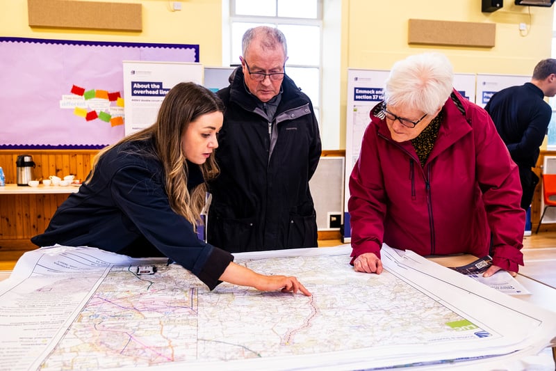
Throughout the life of our projects, we aim to work positively with local communities and keep people informed about what we are doing.
We endeavour to take the time to discuss proposals with local community councils, encourage engagement from the wider community and listen to the feedback we receive.
We will do our best to answer any questions and address issues or concerns that are raised with us.
When our project progresses into construction, we will continue working closely with the local community to ensure that our work has as little impact on the lives of those living and working in the area and as many long term positive effects as possible.

How we’re embracing artificial intelligence (AI)
We intend to use AI to assist our experienced teams in the analysis of your feedback, so we can categorise key points raised more quickly. You can learn more about how we’re utilising AI on this dedicated web page.
Project Updates
Project updates
Documents
-
Lairg II Leaflet.
- Type:
- Date:
- 20 June 2023
- Size:
- 688 KB
This material provides information to our stakeholders about the project and/or consultation events.
Section 37 Application
-
Application Covering Letter.pdf
- Type:
- Date:
- 27 June 2024
- Size:
- 224.2 KB
-
Cable Sealing End Compound Elevation.pdf
- Type:
- Date:
- 27 June 2024
- Size:
- 315.4 KB
-
Cable Sealing End Compound Overview.pdf
- Type:
- Date:
- 27 June 2024
- Size:
- 219.7 KB
-
Site Layout Plan.pdf
- Type:
- Date:
- 27 June 2024
- Size:
- 669.1 KB
-
Site Location Plan.pdf
- Type:
- Date:
- 27 June 2024
- Size:
- 3.4 MB
Voluntary Environmental Appraisal
-
Voluntary Environmental Appraisal.pdf
- Type:
- Date:
- 27 June 2024
- Size:
- 774.8 KB
Appendices
-
Appendix 2.1 - CSE Compound Drawings.pdf
- Type:
- Date:
- 27 June 2024
- Size:
- 642 KB
-
Appendix 2.2 General Environmental Management Plans.pdf
- Type:
- Date:
- 27 June 2024
- Size:
- 5.7 MB
-
Appendix 2.3 Species Protection Plan V2.pdf
- Type:
- Date:
- 27 June 2024
- Size:
- 3 MB
-
Appendix 4.2 - UKHab Report.pdf
- Type:
- Date:
- 27 June 2024
- Size:
- 2.3 MB
-
Appendix 4.3 - Protected Species Report.pdf
- Type:
- Date:
- 27 June 2024
- Size:
- 1.7 MB
-
Appendix 5.1 - Cultural Heritage Gazetteer.pdf
- Type:
- Date:
- 27 June 2024
- Size:
- 216.2 KB
-
Appendix 6.1 - Outline Soil and Peat Management Plan.pdf
- Type:
- Date:
- 27 June 2024
- Size:
- 139.8 KB
-
Appendix 6.2 - Legislation, Policy and Guidance.pdf
- Type:
- Date:
- 27 June 2024
- Size:
- 272.5 KB
-
Appendix 7.1 - LVA Methodology.pdf
- Type:
- Date:
- 27 June 2024
- Size:
- 372.9 KB
Figures
-
Figure 1.1 - Site Location.pdf
- Type:
- Date:
- 27 June 2024
- Size:
- 6.3 MB
-
Figure 1.2 - Site Layout.pdf
- Type:
- Date:
- 27 June 2024
- Size:
- 1.3 MB
-
Figure 1.3 - Environmental Sensitivities.pdf
- Type:
- Date:
- 27 June 2024
- Size:
- 9.5 MB
-
Figure 4.1 - Designated Sites up to 10 km.pdf
- Type:
- Date:
- 27 June 2024
- Size:
- 3.3 MB
-
Figure 4.2 - Designated sites up to 2 km.pdf
- Type:
- Date:
- 27 June 2024
- Size:
- 2.4 MB
-
Figure 4.3 - UKHab Survey Results.pdf
- Type:
- Date:
- 27 June 2024
- Size:
- 1.2 MB
-
Figure 4.4 - Protected Species Survey Results.pdf
- Type:
- Date:
- 27 June 2024
- Size:
- 1 MB
-
Figure 5.1 - Heritage Assets Overview.pdf
- Type:
- Date:
- 27 June 2024
- Size:
- 2.9 MB
-
Figure 5.2 - Indicative Heritage Mitigation Area.pdf
- Type:
- Date:
- 27 June 2024
- Size:
- 665.8 KB
-
Figure 6.1 - Peat Depth.pdf
- Type:
- Date:
- 27 June 2024
- Size:
- 2.5 MB
-
Figure 7.1 - Landscape Character Areas.pdf
- Type:
- Date:
- 27 June 2024
- Size:
- 5.2 MB
-
Figure 7.2 - Zone of Theoretical Visibility.pdf
- Type:
- Date:
- 27 June 2024
- Size:
- 7.4 MB
Town and Country Planning
-
Figure 1.2 - Site Layout.pdf
- Type:
- Date:
- 27 June 2024
- Size:
- 1.3 MB
-
Site Layout Plan - T&C.pdf
- Type:
- Date:
- 27 June 2024
- Size:
- 1.4 MB
-
Site Location Plan.pdf
- Type:
- Date:
- 27 June 2024
- Size:
- 3.4 MB
-
Figure 1.1 - Site Location.pdf
- Type:
- Date:
- 27 June 2024
- Size:
- 6.3 MB
Town & Country Planning - Underground Communications Fibre Cable
-
Site Layout Plan - 5 of 6.pdf
- Type:
- Date:
- 27 June 2024
- Size:
- 1.8 MB
-
Site Layout Plan - 1 of 6.pdf
- Type:
- Date:
- 27 June 2024
- Size:
- 1.6 MB
-
Site Layout Plan - 2 of 6.pdf
- Type:
- Date:
- 27 June 2024
- Size:
- 1.2 MB
-
Site Layout Plan - 6 of 6.pdf
- Type:
- Date:
- 27 June 2024
- Size:
- 1.2 MB
-
Site Layout Plan - sheet 3 of 6.pdf
- Type:
- Date:
- 27 June 2024
- Size:
- 1.6 MB
-
Site Layout Plan - sheet 4 of 6.pdf
- Type:
- Date:
- 27 June 2024
- Size:
- 1.6 MB
-
Location Plan - Supplementary site location plan.pdf
- Type:
- Date:
- 27 June 2024
- Size:
- 4.3 MB
-
Location Plan.pdf
- Type:
- Date:
- 27 June 2024
- Size:
- 5.6 MB
-
Appendix A - Figures.pdf
- Type:
- Date:
- 27 June 2024
- Size:
- 2.1 MB
-
Appendix D - Cultural Heritage Gazetteer.pdf
- Type:
- Date:
- 27 June 2024
- Size:
- 269.2 KB
-
Appendix E - Ecology Survey Report.pdf
- Type:
- Date:
- 27 June 2024
- Size:
- 388.7 KB
-
Fibre Optic Communications - Water Crossings.pdf
- Type:
- Date:
- 27 June 2024
- Size:
- 1.4 MB
-
General Plan - Proposed Cable Route.pdf
- Type:
- Date:
- 27 June 2024
- Size:
- 403.4 KB
-
Appendix 2.2 General Environmental Management Plans.pdf
- Type:
- Date:
- 27 June 2024
- Size:
- 5.7 MB
-
Appendix 2.3 Species Protection Plan V2.pdf
- Type:
- Date:
- 27 June 2024
- Size:
- 3 MB
-
Application for telecoms fibre cable.pdf
- Type:
- Date:
- 27 June 2024
- Size:
- 101.5 KB
-
Environmental Appraisal.pdf
- Type:
- Date:
- 27 June 2024
- Size:
- 604.7 KB
Information Leaflet
-
Lairg II Leaflet.
- Type:
- Date:
- 20 June 2023
- Size:
- 688 KB
This material provides information to our stakeholders about the project and/or consultation events.
FAQs
FAQs
Recite me
To make use of this function please click on the 3 'A's' button at the bottom left of the website.


