Overview
Status: Project Refinement

Planning Consent Granted
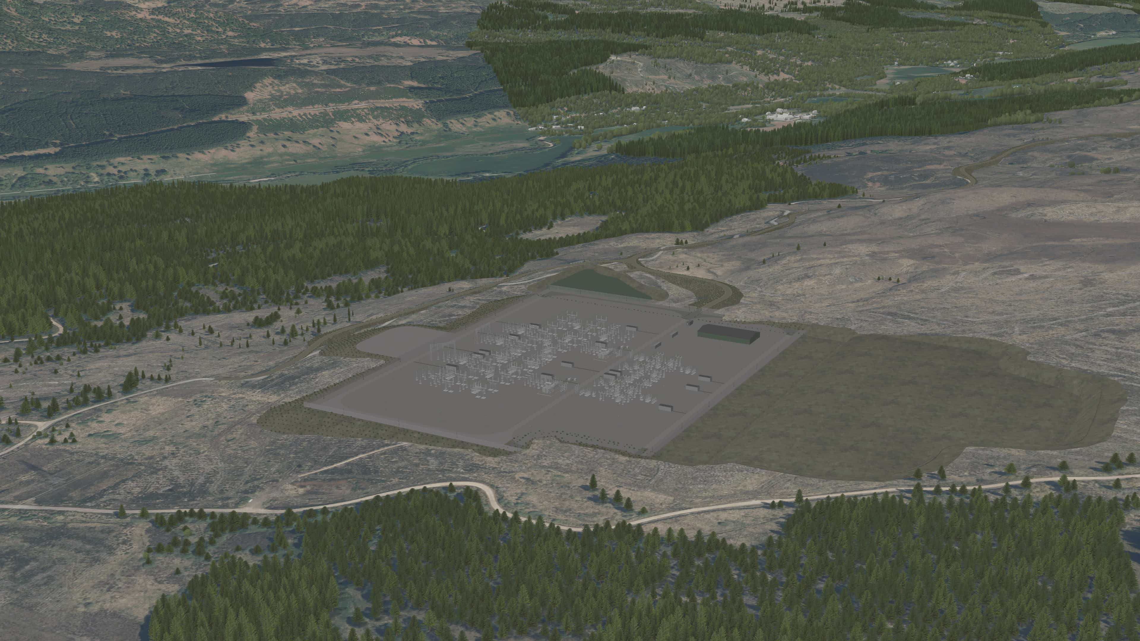
We welcome the decision made by Highland Council’s South Planning Committee on Wednesday 18 February 2026 for the Bingally 400kV substation - a key element of our proposed upgrade of the Beauly to Denny overhead line.
The decision follows two years of development and extensive engagement with local communities and stakeholders on the project’s design. The Bingally substation will deliver substantial local benefits, including new housing, jobs and supply chain opportunities, alongside more than £500,000 in direct community benefit funding.
Construction of the substation is expected to begin in summer 2026.
We would like to thank everyone who took part in our consultation events, whose feedback has played a vital role in shaping the final proposals. We will continue to work constructively with the community throughout the project’s lifetime, in line with our commitment to being a good neighbour and delivering a positive legacy.
About the Project
In order to support the continued growth in onshore and offshore renewables across the north of Scotland, supporting the country's drive towards Net Zero, investment in network infrastructure is needed to connect this renewable power and transport it from source to areas of demand across the country.
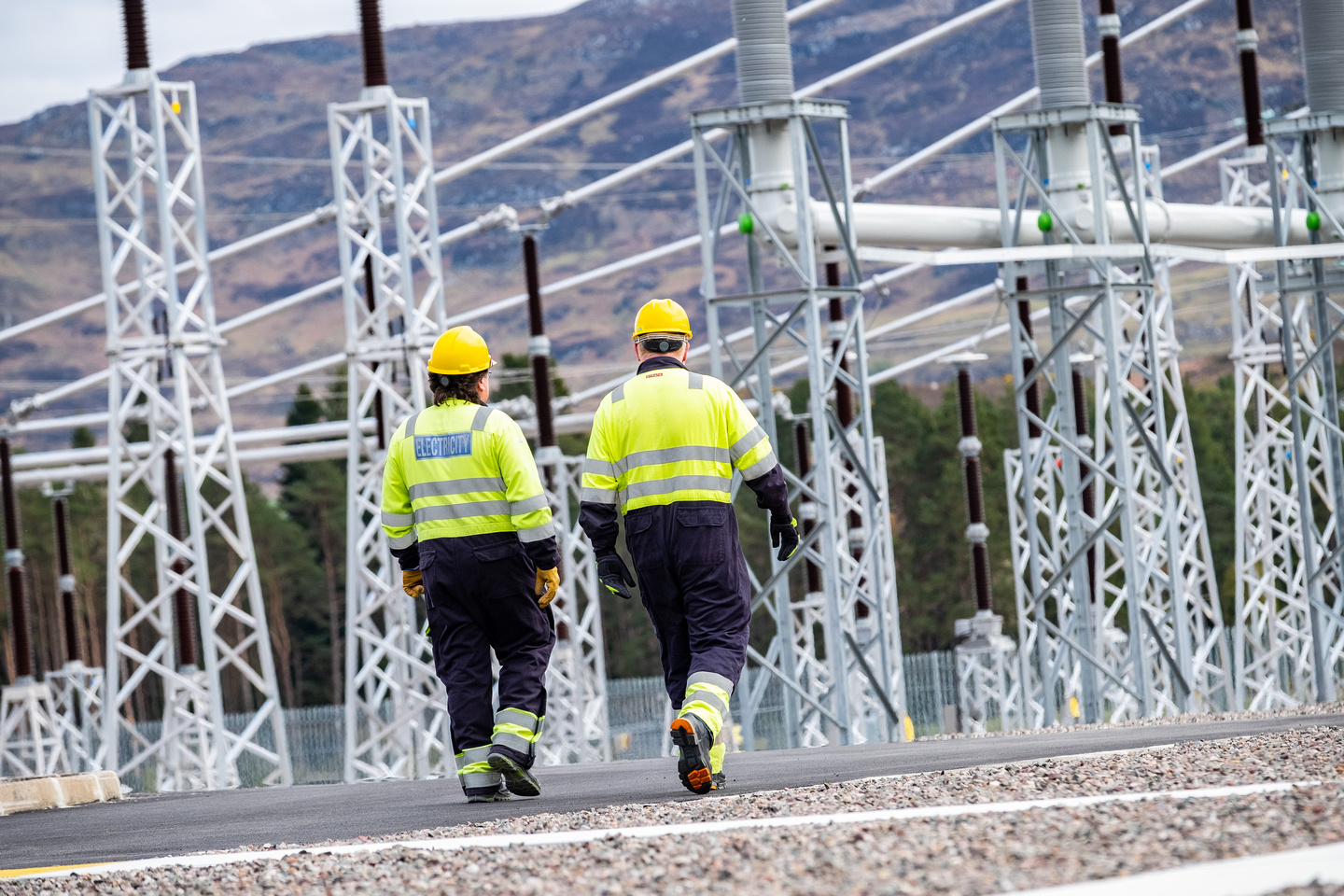
Extensive studies have confirmed the need to upgrade the second circuit of the Beauly – Denny overhead line (OHL) from 275kV to 400kV. To do this, we require two new 400kV substations as well as modifications or extensions to other substations along the Beauly – Denny route.
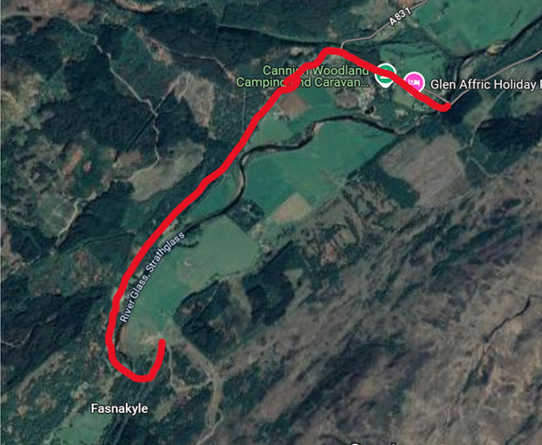
The proposed Bingally 400kV substation is located southwest of Cannich, near Tomich, approximately 6km from the existing Fasnakyle 275kV substation. The new substation will house more sophisticated switching capability than is present in the existing 275kV substation, which requires significantly more space than either existing substation can currently accommodate.
Why is the Project Required?
As part of its statutory and transmission licence obligations, SSEN Transmission has a number of duties including:
- the development and maintenance of an efficient, coordinated and economical system of electricity transmission
- to facilitate competition in the supply and generation of electricity
- to ensure that the security of the network is maintained as the demand and/or generation connections change over time
SSEN Transmission has a licence obligation to invest in its existing assets to maintain network health and condition. SSEN Transmission also has a statutory duty under the Electricity Safety, Quality and Continuity Regulations 2002 to ensure that the electricity transmission network is fit for purpose.
Pathway to 2030
The Pathway to 2030, published by National Energy System Operator NESO, the electricity system operator for Great Britain, sets the blueprint for the electricity transmission network infrastructure required to enable the forecasted growth in renewable electricity across Great Britain.
The projects identified within the Pathway to 2030 are critical to delivering the UK and Scottish Government’s offshore wind targets. To deliver these targets, we are investing over £10bn to upgrade the network infrastructure across the north of Scotland as the region plays a leading role in the clean energy transition.
As part of this investment, there is a requirement for a new 400kV substation near the existing Fasnakyle substation.
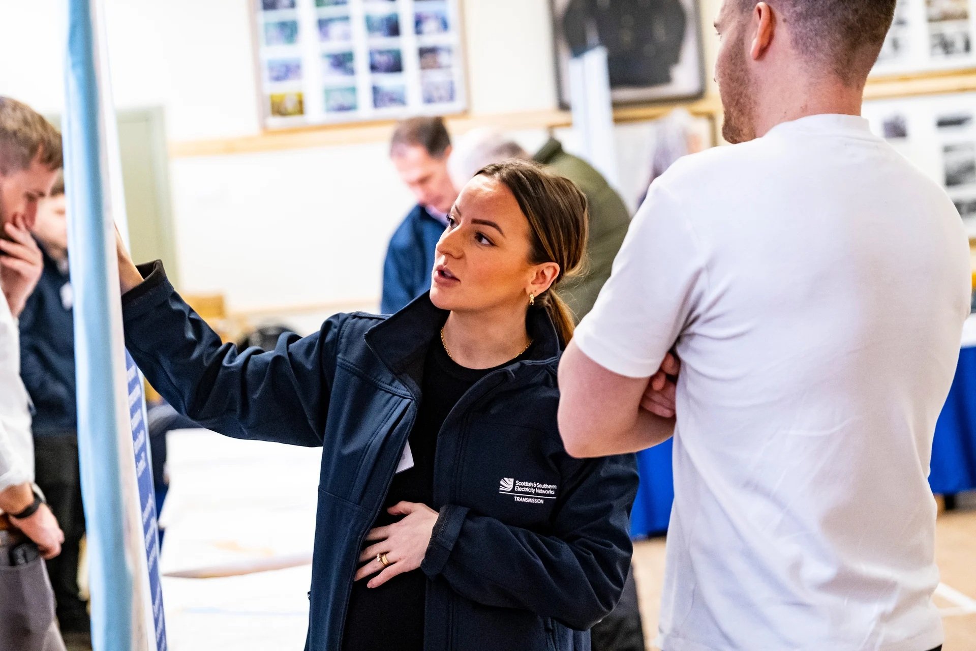
Community Engagement
Throughout the life of our projects, we aim to work positively with local communities and keep people informed about what we are doing. This is particularly important when we are developing a proposal and we want to understand what local people think about our plans.
We endeavour to take the time to discuss proposals with local community councils, encourage engagement from the wider community and listen to the feedback we receive.
We will do our best to answer any questions and address issues or concerns that are raised with us.
When our project progresses into construction, we will continue working closely with the local community to ensure that our work has as little impact on the lives of those living and working in the area and as many long term positive effects as possible.

How we’re embracing artificial intelligence (AI)
We intend to use AI to assist our experienced teams in the analysis of your feedback, so we can categorise key points raised more quickly. You can learn more about how we’re utilising AI on this dedicated web page.
Project Updates
Featured updates
Featured updates for this project
Ecological Surveys
Planning Consent Granted

Bingally 400 kV Overhead Line Tie-in section 37 application
Project updates
-

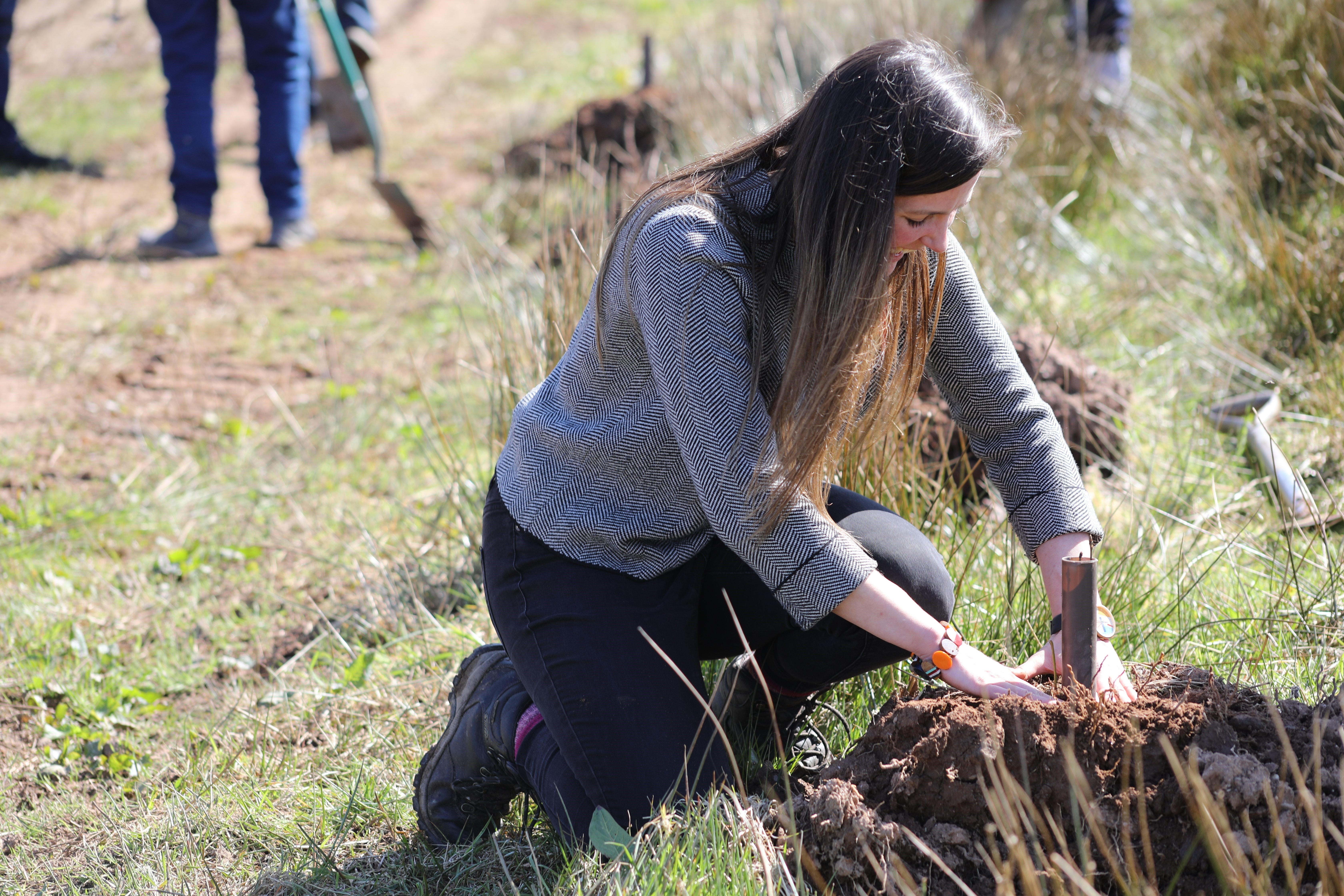
Ecological Surveys
Our teams will be conducting a series of ecological surveys across our proposed project sites in the coming weeks. The surveys are aligned with the bird nesting season beginning, and will include walkovers to assess the habitat for protected species eg. raptors and black grouse.
These surveys, which are allowed under permitted development rights, will be low-impact, and will involve a small number of people walking across the project sites. We do not expect the surveys to impact the community, or involve any noise or disruption.
We carry out these surveys to minimise and mitigate any adverse effects to wildlife before we undertake any construction works. These surveys will continue for several weeks and will cover a range of different animal species.
-
Planning Consent Granted
We welcome the decision made by Highland Council’s South Planning Committee on Wednesday 18 February 2026 for the Bingally 400kV substation - a key element of our proposed upgrade of the Beauly to Denny overhead line.
The decision follows two years of development and extensive engagement with local communities and stakeholders on the project’s design. The Bingally substation will deliver substantial local benefits, including new housing, jobs and supply chain opportunities, alongside more than £500,000 in direct community benefit funding.
Construction of the substation is expected to begin in summer 2026.
We would like to thank everyone who took part in our consultation events, whose feedback has played a vital role in shaping the final proposals. We will continue to work constructively with the community throughout the project’s lifetime, in line with our commitment to being a good neighbour and delivering a positive legacy.
-
2025 Festive Period
As our teams begin planning for the festive break, the ground investigation works that commenced at the start of September 2025 will conclude from 16 December 2025, with the site teams starting to demobilise from the area from this date.
During demobilisation school start and finish times will be avoided and the expected route that the plant will exit site from will be along the A831 via Braefield and Balnain.
It is expected that all equipment and vehicles will have moved out of the area by Friday 19 December 2025.If you have any questions or concerns regarding the above information, please do not hesitate to contact us directly at bdup@sse.com.
-
Planning Application Additional Information Submitted
Following objections and requests for further information from The Highland Council, SEPA and other non-statutory consultees on our planning application originally submitted in February 2025 we have submitted additional information along with various updated figures and appendices.
Full details of all changes are contained within the covering letter and the additional information report and all additional information submitted along with the figures and appendices can be downloaded from the documents section of this webpage.
The Highland Council have confirmed that they will be reopening the consultation period until 28 November 2025. Interested stakeholders can give their feedback via The Highland Council’s planning portal using reference 25/00592/FUL.
Please note that all feedback at this stage should only be sent to the local planning authority and not to SSEN Transmission. -
Upcoming Plant Movements
At the beginning of September 2025 our Principal Contractor Siemens-BAM commenced further Ground Investigations (GIs) within the vicinity of the proposed Bingally substation site which followed initial GI work that was carried out in May 2025.
While Siemens-BAM is still undertaking the current GI works and to assist these works to ensure efficiencies a 14T excavator was brought to site on 28 October 2025.
As the GI works continue next Friday 7 November 2025 there will be another plant movement where a low loader will be bringing an excavator to site between 10-11am. We anticipate this delivery to take approximately one hour, once the excavator has been off loaded the low loader will return empty. This movement will be escorted by Siemens-BAM sub-contractor Mellex.
The route the low loader will take will be via the A831, Fasnakyle power station on the C1110 route and the Tomich Village (Public Road U1423/U1391) to the main site.
If you have any questions or concerns regarding the above information, please do not hesitate to contact us directly at bdup@sse.comPlant Movements
While SiemensBAM is still undertaking Ground Investigation (GI) works in order to assist these works to ensure efficiencies they have notified us that there will be a plant movement of a 14T excavator that will travel through the village of Tomich on 28 October 2025.
This movement will be escorted and will take place after 9am and return on the same day.
We apologise for the late notification of this movement. -
Ground Investigation (GI) Works
In advance of the planning determination for our proposed Bingally 400kV substation, we will be undertaking some further intrusive ground investigations on the site, as well as Archaeological and Ecological walkover surveys.
These investigation works are required to understand the ground conditions below surface level of the proposed site. This will help us to inform the detailed design of the substation and understand earthwork movements associated with creating the substation platform.
Siemens-BAM our Principal Contractor shall be undertaking the ground investigation works in the area and vehicles will be parked off road at the nearest hard standing ensuring not to cause an obstruction to the public and will travel to the proposed site area via the A831, C1110 route and Tomich Village (Public Road U1423/U1391)
Works at site will start at the beginning of September 2025 and will last for a period of around twelve to fourteen weeks.
To facilitate these works in early September there will be construction plant deliveries i.e. excavator, drilling rig and welfare cabins accessing via the A381, Fasnakyle power station on the C1110 route and the Tomich Village (Public Road U1423/U1391) to the main site.
These deliveries will not be carried out under an escort like the deliveries in May 2025 but there may be instances of some short-term localised disruption for which we apologise.
If you have any questions or concerns regarding the above information, please do not hesitate to contact us directly at bdup@sse.com -
Bingally 400 kV Overhead Line Tie-in section 37 application
SSEN Transmission have submitted an application to the Scottish Ministers for consent under Section 37 of the Electricity Act 1989 to install two new towers (including a temporary diversion requiring two temporary towers) to facilitate the tie-in of the existing Beauly-Denny overhead line into the proposed Bingally 400 kV Substation.
Any representations on the application may be submitted to Scottish Ministers via the Energy Consents Unit website at www.energyconsents.scot using reference ECU00005145. All representations should be made such that they are received by Scottish Ministers not later than 30 July 2025 although Scottish Ministers may consider representations received after this date. As a result of a statutory objection from the relevant planning authority, or where Scottish Ministers decide to exercise their discretion to do so, Scottish Ministers can also cause a Public Inquiry (PI) to be held.
Should you wish to view the documents contained within our Section 37 application in full, these are available within the project documents section of this webpage. -
Notification of additional Ground Investigation works
As part of the associated construction works for the proposed Bingally 400kV substation our Principal Contractor Siemens-BAM will be undertaking some additional Ground Investigation works in the vicinity of the proposed substation site for 3 weeks between Tuesday 27 May – Friday 13 June 2025.
The main works being undertaken during this period will be the trial excavation of rock using rock breakers from several sample locations across the substation site (including access track). During these works we will deploy several noise monitoring devices around the site to allow for data collection which will help us to further develop our noise mitigation plans for the construction phase of the project.
Within this period there will also be four ground vibration tests undertaken which will involve the use of small explosive charges. These are expected to be undertaken on Wednesday 11 June 2025 and there will be no effects out with the immediate vicinity of the proposed substation platform.
To facilitate these works there will be up to six construction plant deliveries accessing the site from near the Fasnakyle power station on the A831 on Tuesday 27 May 2025 and then making their return journey from the site on Friday 13 June 2025. There may unfortunately be some short-term localised disruption as these vehicles make their way in and out of the site.
All of the information and related documents including a map of the construction vehicles confirmed route can be found with the 'Documents' section of this website. If you have any questions or concerns regarding the ongoing works, please do not hesitate to contact your Community Liaison Manager Nicki McLuskey.
-
Planning Application Submission
Following the second pre application consultation feedback event that we hosted in June at Cannich Hall we can confirm that we have submitted our planning application to The Highland Council for the Bingally 400kV substation.
The Bingally 400kV substation is part of a wider upgrade to the transmission network in the north of Scotland, helping deliver high voltage, clean renewable power for connection to homes and businesses across the UK – helping meet national net zero and energy security ambitions.
Our planning application regarding our proposal to construct and operate a 400kV AC substation on land approximately 2.3 km from Tomich village has been made to The Highland Council under reference 25/00592/FUL. Should you wish to view our application in full and submit formal comment to the council our application is available to be viewed via the Highland Council planning portal, using the above reference.
All the documentation submitted as part of the application can also be viewed and downloaded from the documents section of this webpage.
We would like to thank those who provided feedback as part of our pre-application consultation events, which have been key in helping us shape our proposals and we now look forward to working with The Highland Council and other key stakeholders as part of the consenting process. -
We're here to lend a helping hand
We are committed to supporting the communities in the north of Scotland where we operate, both now and in the future. As part of our ongoing efforts to make a difference and have a positive impact on local communities, we are proud to offer volunteering days to local groups and charities, particularly in the areas that host our electricity infrastructure or where our proposed projects are located.
This month, we’re excited to announce the launch of our new Volunteering Webpage, designed to make it easier for local communities to request volunteering support from us. To request our help, simply complete the ‘Volunteering Nomination Form’ linked at the bottom of our new webpage. Please note, as our team works on a voluntary basis, it may take us some time to coordinate our people and match them with opportunities. We kindly ask for your patience as we work to keep up with volunteering demand.
Thank you for considering SSEN Transmission as a partner in your community efforts. Together, we can leave a positive, lasting legacy and help transform communities across the north of Scotland.
-
Ground Investigation Works Due to Commence
The project is currently at development phase and Ground Investigation (GI) works are a key part of this process. The results of these investigations will provide project teams with valuable information to help inform the ground condition of various current/proposed access track roads to the proposed substation platform around the area.
The works will involve digging and drilling a series of trial pits and boreholes across the site to obtain a detailed picture of ground conditions and geology. Overseeing the works will be the SSEN Transmission project team, together with specialist supervision from ecologists who will ensure the works do not negatively impact on local wildlife (both known and unknown).
The teams are planning to start mobilising from 17th July, with the GI works due to commence w/c 22nd July 2024 until end of October 2024.
There will be increased traffic through Tomich at the start and end of the GI works as they mobilise and demobilise, but there will be no road closures or police escorts of vehicles.
We would like to thank the local community for their patience while we carry out these essential works. -
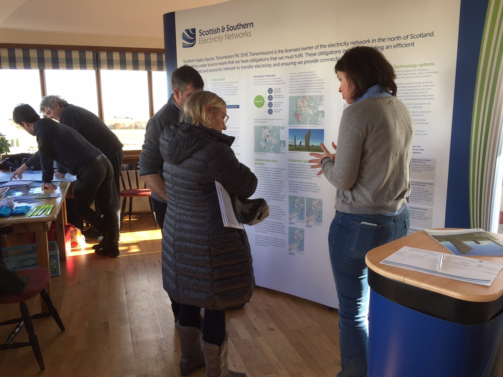
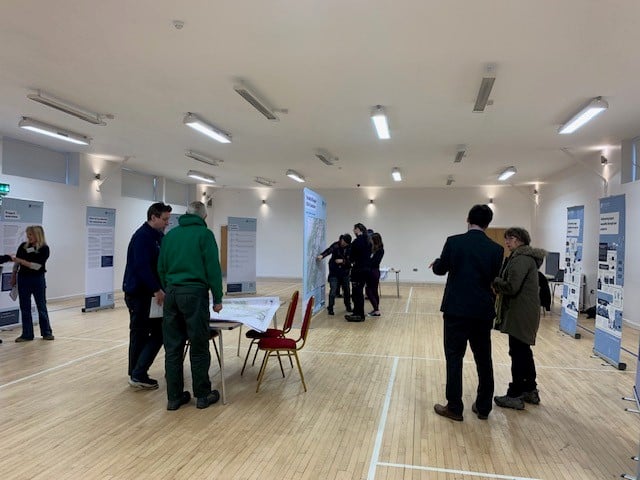
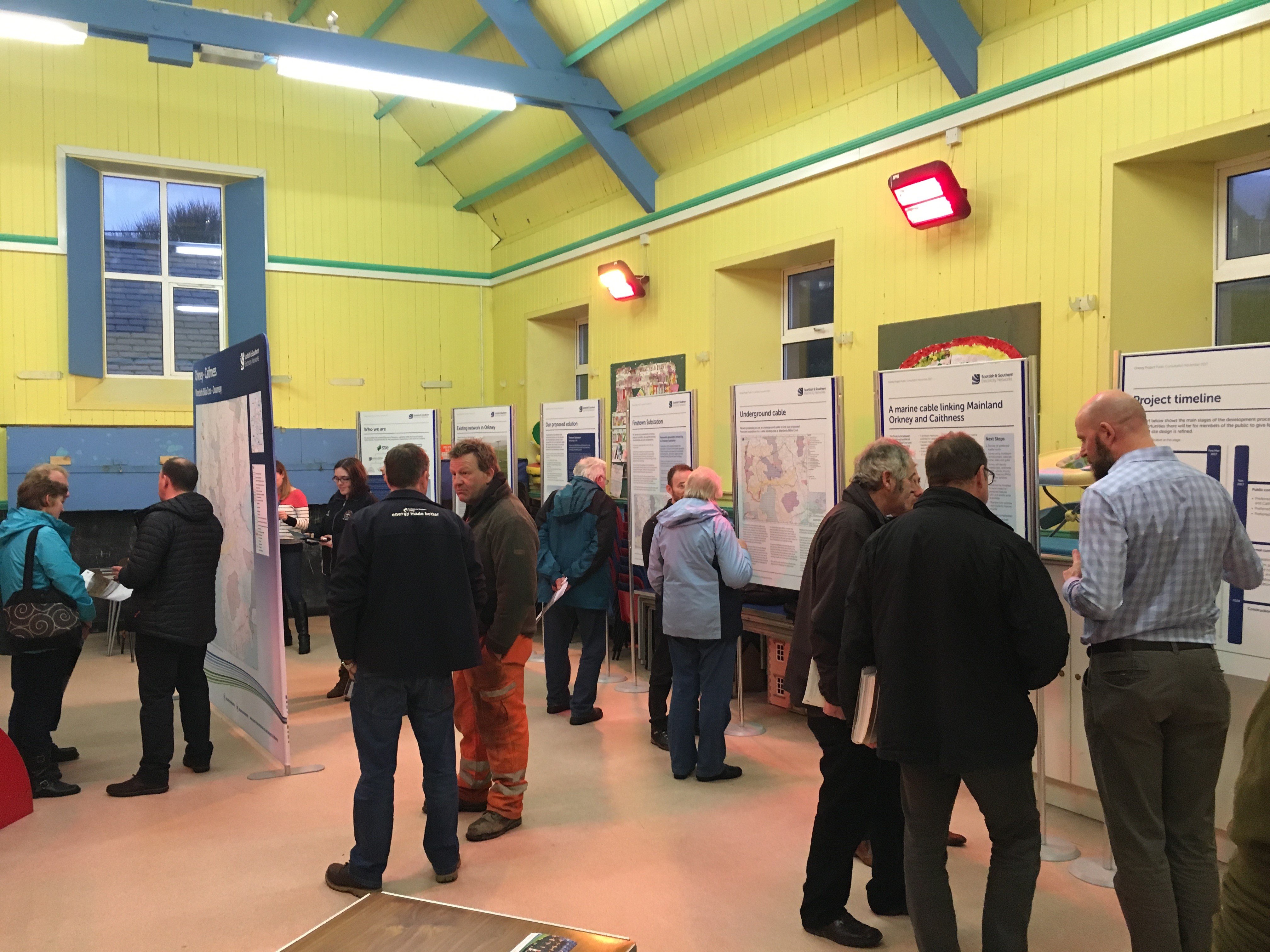
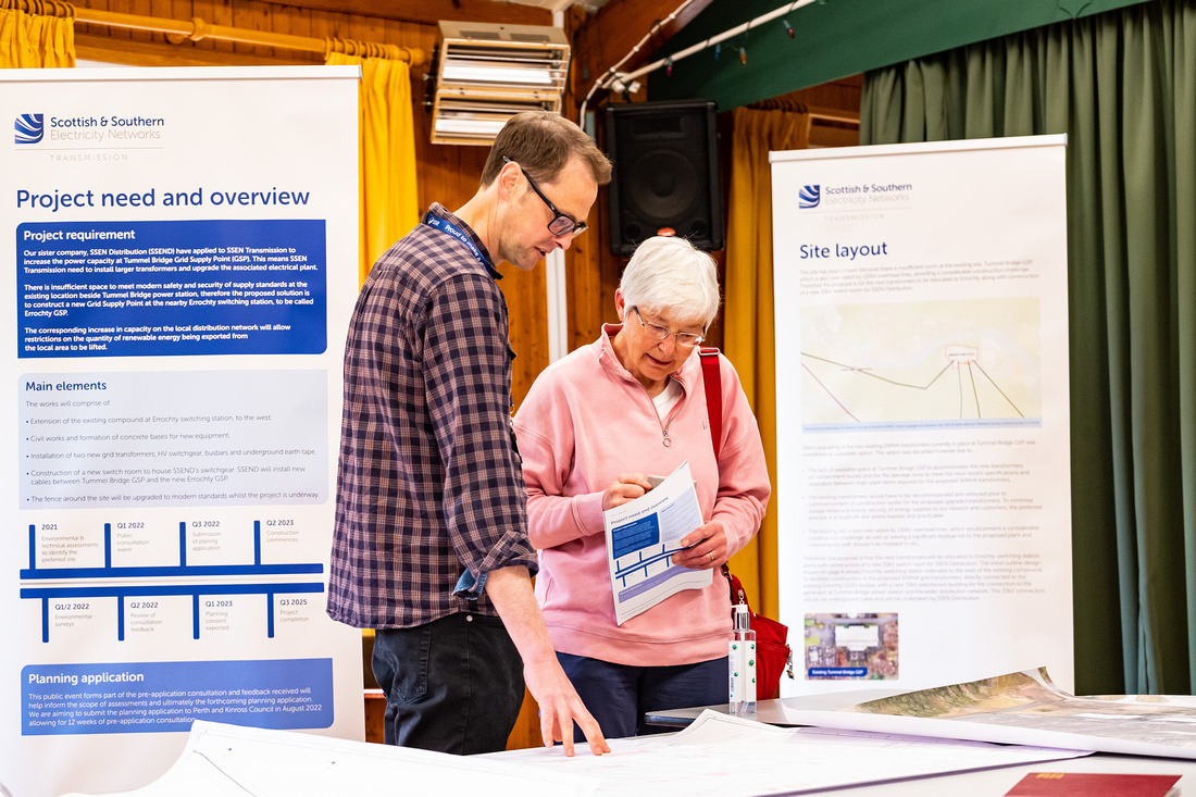
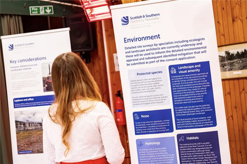
Pre-Application Consultation (PAC) Feedback Event - June 2024
We would like to thank all members of the local community and interested parties who took the time to attend the Bingally consultation event on 18 June where we presented our plans for the proposed Bingally 400KV substation, and shared our responses to feedback received during our consultation period.
We are now asking for any final comments or feedback ahead of submitting planning applications for the Bingally 400kV substation project. We’ll be actively looking to mitigate the impacts of the site as much as possible over the coming months, but it would be helpful to understand what you believe we should be doing to help minimise these impacts.
Submit your comments and feedback by emailing bdup@sse.com or writing to your Community Liaison Manager Rosie Hodgart at SSEN Transmission, 1 Waterloo Street, Glasgow, G2 6AY.
Any comments made to us as the Applicant are not representations to The Highland Council as the planning authority. There will be opportunity to make formal representations to the planning authority following the submission of the planning application.
If you were unable to attend the public event please view the virtual exhibition room linked below, which presents all the information that was on display. You can also download the project materials from the Project Documents section of the website.
Click here to view the Virtual Consultation Room
Bingally 400kV Substation - Pre-Application Consultation (PAC) Feedback Event - June 2024
We are holding the second of our statutory pre-application consultation events for our proposed Bingally 400kV substation project. We would like to thank those who took the time to attend our first event in March this year and submit their feedback.
During our consultation event you will be able to view information about our proposed plans for the new proposed substation, our responses to feedback received from the last event, meet the project team, ask questions and share further comments.
We would encourage members of the local community and all interested parties to attend the event.
Updated information relating to the proposals is available to download from the 'Project Documents' tab of this webpage.
The open-door drop-in face to face consultation will be taking place on:
Tuesday 18 June 2024, 2 – 7pm
Cannich Hall, Cannich, Beauly, IV4 7LJ -
Bingally 400kV Substation
We would like to thank all members of the local community and interested parties who took the time to attend the Bingally consultation event on 27 March where we presented proposals regarding the proposed Bingally 400KV substation.
We will be seeking comments and feedback from members of the public, statutory consultees and other key stakeholders regarding our proposals until 8 May 2024. Submit your comments and feedback via the feedback form at the top of this page or by emailing or writing to your Community Liaison Manager.
If you were unable to attend the public event please view the virtual exhibition room linked below, which presents all the information that was on display. You can also download the project materials from the Project Documents section of the website.
Click here to view a 3D flythrough of the proposed substation
Click here to view the virtual consultation room
Please let us know if you require information in an adapted format such as paper copy, large print or braille and we will work with you to accommodate your preferences. We are happy to accommodate all reasonable requests for adapted communications.
Fasnakyle (Bingally) 400kV Substation – Public Event
We are pleased to be hosting a public event on our proposed Fasnakyle area 400kV Substation, part of the Beauly-Denny 400kV Upgrade Project, following the site selection consultation event in September 2023 and publication of the Report on Consultation in March 2024.
We are holding this face to face event as part of the statutory Pre-Application Consultation (PAC) process, which is required for major planning applications. At this drop-in event we will present our proposals for this development and any changes that have been made since we last consulted with you.
Following this event, we will be seeking comments and feedback from members of the public, statutory consultees and other key stakeholders regarding our proposals until 8 May 2024. Submit your comments and feedback via the feedback form at the top of the page or by emailing or writing to your Community Liaison Manager.
The event will be held on:
Date: 27 March 2024
Time: 2pm – 7:30pm
Venue: Cannich Hall, Cannich, Beauly, IV4 7LJIf you are unable to attend the public event all the material that will be on display are available to be downloaded from the project documents section of this webpage.
-
Fasnakyle 400kV Substation Updated Consultation Document
In September 2023 we presented our shortlisted site options at a public consultation for the proposed new 400kV substation in the Fasnakyle area. Following the feedback received from communities during this consultation period, and considering further assessments on the shortlisted options, we have revised the Site Selection Consultation Document to provide more detail on our process and to include additional sites that have since been identified for further consideration.
The evaluation of the sites will be concluded and summarised within the Report on Consultation due to be issued in the coming weeks.
The updated consultation document is available to be downloaded from the project documents section of this webpage or at the link below.
Fasnakyle Site Selection Consultation Document - 2024 Update -

Fasnakyle and Braco Area Ground Investigations
Ground investigation works, being undertaken as part of ongoing site selection, are due to commence in the coming weeks for the proposed new Fasnakyle and Braco area 400kV substations.
The project is at the early stages of development and the investigation works are a key part of this process. The results will provide project teams with valuable information to help inform the site selection process.
The works will involve digging and drilling a series of trial pits and boreholes across the site to obtain a detailed picture of ground conditions and geology. Overseeing the works will be the SSEN Transmission project team, together with specialist supervision from ecologists who will ensure the works do not negatively impact on local wildlife (both known and unknown).
We would like to thank the local community for their patience while we carry out these essential works. -
Fasnakyle Feedback Period Closes
We would like to thank all members of the local community and interested parties who took the time to submit feedback on the new proposed 400kV Fasnakyle substation.
The site selection consultation period for this project has now closed and feedback is being reviewed by the project team. The next consultation for this project will take place in Q1 2024. Full details will be made available on the project webpage in due course. -
Fasnakyle Feedback Period
We would like to thank all members of the local community and interested parties who took the time to attend the Fasnakyle public consultation events where we presented proposals regarding a new proposed 400kV Fasnakyle substation.
These events, which were held on 5 September at Cannich Hall and 7 September virtually, are followed by a six week feedback period, during which all stakeholders are invited to provide feedback specific to the proposals at this stage. Our consultation period for the 400kV Fasnakyle substation will close on 17 October.
If you were unable to attend the public consultation event all the relevant material is available to be downloaded from the project documents section of this webpage or the link below.
Fasnakyle September 2023 public consultation booklet
Documents
Planning Application Additional Information - Covering Letter
Planning Application Additional Information - Report
Planning Application Additional Information - Bat Technical Note (Appendix A)
Planning Application Additional Information - Forestry Tech Note (Appendix B)
Planning Application Additional Information - Compensatory Planting Strategy (Appendix C)
Planning Application Additional Information - Ancient Woodland Note (Appendix D)
Planning Application Additional Information - Figures (Appendix E)
Planning Application Additional Information - Peat Management Plan (Appendix F)
Planning Application Additional Information - Landscape and Habitat Management Plan (Appendix G)
Planning Application Additional Information - Visualisations (Appendix H)
Planning Application Additional Information - Biodiversity Net Gain (BNG) Report (Appendix I)
Planning Application Additional Information - Peat Landslide Hazard and Risk Assessment (Appendix J)
Planning Application Additional Information - Drawings
Planning Application Additional Information - Technical Reports
Map of Construction vehicle route
-
 Map of confirmed construction vehicles route.png
- Type:
- Image
- Date:
- 16 May 2025
- Size:
- 778.3 KB
Planning Application - Covering Letter
This document is the cover letter to The Highland Council that accompanied the planning application for the proposed Bingally 400kV substation.
Planning Application - EA Report Volume 1: Main Report
Planning Application - EA Report Volume 2: Figures
The figures within volume 2 are the supporting figures referred to in Volume 1 of the Voluntary EA Report.
Planning Application - EA Report Volume 3: Appendices
Documents within volume 3 comprises supporting appendices to volume 1 of the voluntary EA report. Appendices include further detailed reporting or information to support the voluntary EA Report and technical assessments contained therein.
Planning Application - Planning Statement
This Planning Statement considers the case for approval in land use planning policy terms at the national (National Planning Framework 4 (NPF4)) and local (The Highland Council) level, with reference to the Development Plan and national planning and energy policy which supports the delivery of electricity infrastructure that will assist in the delivery of the Government’s legally binding ‘Net Zero’ commitments and will ensure security of supply to customers.
Planning Application - Planning Drawings
Planning Application - Design and Access Statement
Planning Application - Pre Application Consultation (PAC) Report
This Pre-Application Consultation (PAC) Report provides an overview of the consultation programme and describes: the findings from the PAC process; the steps taken to meet statutory requirements; the feedback received during the PAC process, and how we responded.
Planning Application - Socio Economic Assessment
This socio-economic assessment examines the impacts of the proposed Bingally substation and associated works, termed the ‘Proposed Development’ in this report, on the local, regional, and national economy and community. The assessment covers both the construction and operational phases.
S37 - OHL EA Chapters 1-12
S37 - Appendix A - Figures
S37 - Appendix B - Screening Response
S37 - Appendix C - Visualisation
S37 - Appendix D - LHMP
S37 - Appendix E - BNG
S37 - Appendix F - Transport Statement
S37 - Appendix G – Geo-Desk Study
S37 - Appendix H – PMP
S37 - Appendix I - PLHRA
S37 - Appendix J – Acoustic Terminology
S37 - Appendix K – Background Sound Level Survey
S37 - Appendix L – Climate Change Risk Assessment
S37 - Appendix M – GEMPS and SPPs
Project Documents
-
Bingally Pre-application Consultation Feedback Booklet.pdf
- Type:
- Date:
- 04 June 2024
- Size:
- 3.6 MB
This document provides information to our stakeholders about the project and was provided during our pre-application consultation in June 2024.
-
Fasnakyle area (Bingally) Pre-application Consultation Booklet
- Type:
- Date:
- 13 March 2024
- Size:
- 5.5 MB
This document provides information to our stakeholders about the project and was provided during our pre-application consultation in March 2024.
-
Fasnakyle area (Bingally) Pre-application Consultation Poster
- Type:
- Date:
- 13 March 2024
- Size:
- 490.5 KB
This document provides information to our stakeholders about our pre-application consultation events in March 2024.
-
Report on Consultation - Fasnakyle Area Substation.pdf
- Type:
- Date:
- 01 March 2024
- Size:
- 1.4 MB
This Report on Consultation (and associated appendices/maps) documents the consultation process which has been undertaken for the project at corridor, routeing, alignment or substation site selection stage. It describes the key responses received and provides detail on the actions proposed in response to the issues raised.
-
Fasnakyle Site Selection Consultation Document - Update 2024.pdf
- Type:
- Date:
- 08 February 2024
- Size:
- 3.5 MB
This Site Selection Consultation Document (and associated appendices/maps) explains the project need and summarises the process which has been followed to arrive at the optimal site. It forms part of the consultation exercise which provides all interested parties with the opportunity to provide feedback.
-
Fasnakyle Site Selection Consultation Document
- Type:
- Date:
- 05 September 2023
- Size:
- 2.7 MB
This Site Selection Consultation Document (and associated appendices/maps) explains the project need and summarises the process which has been followed to arrive at the optimal site. It forms part of the consultation exercise which provides all interested parties with the opportunity to provide feedback.
-
Fasnakyle 400kV Substation September 2023 public consultation booklet
- Type:
- Date:
- 25 August 2023
- Size:
- 5.8 MB
This material provides information to our stakeholders about the project and and was presented at the September 2023 consultation.
-
Environmental Constraints
- Type:
- Date:
- 25 August 2023
- Size:
- 17.3 MB
This map provides information to our stakeholders about the environmental constraints present within the project.
-
Potential Site
- Type:
- Date:
- 25 August 2023
- Size:
- 8.1 MB
This map provides information to our stakeholders about the potential site.
-
Substation Options Appraised at Stage 2
- Type:
- Date:
- 25 August 2023
- Size:
- 8.2 MB
This map provides information to our stakeholders about the site options.
-
Substation Options.pdf
- Type:
- Date:
- 25 August 2023
- Size:
- 23.5 MB
This map provides information to our stakeholders about the site options.
-
New Fasnakyle 400kV Substation Public Consultation Poster
- Type:
- Date:
- 18 August 2023
- Size:
- 134.8 KB
This document provides information to our stakeholders about our consultation events in September 2023.
Additional Information
FAQs
Who we are
About the Pathway to 2030 projects
Our approach to routeing and public consultation
Environmental considerations
Community and landowner considerations
Cost and engineering considerations
Recite me
To make use of this function please click on the 3 'A's' button at the bottom left of the website.

Latest Links
-
Report on Consultation
Our Reports on Consultation across our three new overhead line projects and associated substation and convertor station developments have now been published. These reports provide a summary of the extensive feedback received during consultation, how this has been considered and confirmation of which routes and substations are now being taken forward to the next stage of development.
Our Reports on Consultation are now available to download from the Project Documentation tab.
Summary Reports on Consultation are also available for each of the three schemes and can be downloaded below:
- Summary Report on Consultation Spittal to Beauly
- Summary Report on Consultation Beauly to Peterhead
- Summary Report on Consultation Kintore to Tealing
A stakeholder webinar available for all to join will be held in the coming weeks to share the changes informed by the feedback. More information about the forthcoming webinar will be shared on our events page shortly.
In further recognition of community feedback, we will seek to rationalise cumulative infrastructure impacts through the removal and undergrounding of existing transmission lines, where technically practical and appropriate, and subject to all necessary planning consents and landowner agreements.
Work to identify and assess potential sections of existing overhead line where their removal will reduce cumulative impacts is ongoing, with an update expected as part of the next round of public consultation on overhead line alignments and more detailed substation designs in early 2024.
We would once again like to thank all stakeholders who took the time to engage with our early consultation process. We will continue to engage with stakeholders ahead of consulting further with local communities and stakeholders in the new year, as we look to refine our proposals.
-
Report on Consultation
Over the course of this year, we have undertaken extensive consultation on plans to upgrade the electricity transmission network across the north of Scotland and have received a considerable amount of feedback from a wide range of stakeholders regarding our proposals.
We recently advised in our next steps for 2030 network developments update that following assessment of consultation feedback and additional options analysis, we would publish our Report on Consultations (RoCs). These reports provide a summary of the feedback received and how it has been considered, which options we will take forward to the next stage of the development process and any changes to options initially consulted on.
It is our intention to publish the RoCs during the week commencing 27 November. All stakeholders signed up for updates on the project will receive a link to the report and we will also issue Summary Reports to help ensure accessibility.
These Report on Consultations mark the completion of the first round of non-statutory consultation, where we sought feedback on the corridor, route, and substation locations. We will be consulting further with local communities and stakeholders in the new year, as we look to refine the projects, therefore we welcome an open channel of communication and would like to reassure all stakeholders that there will be further opportunities to engage on this project.
Our Reports on Consultation and Summary Reports on Consultation are now available to download from the Project Documentation tab. -
SSEN Transmission sets out next steps for Pathway to 2030 network developments
We have announced our next steps for our Pathway to 2030 programme of projects. We would like to thank everyone who has engaged with our teams and kindly taken the time to respond to our consultations.
Full details of the announcement can be found here:
Next steps for Pathway to 2030